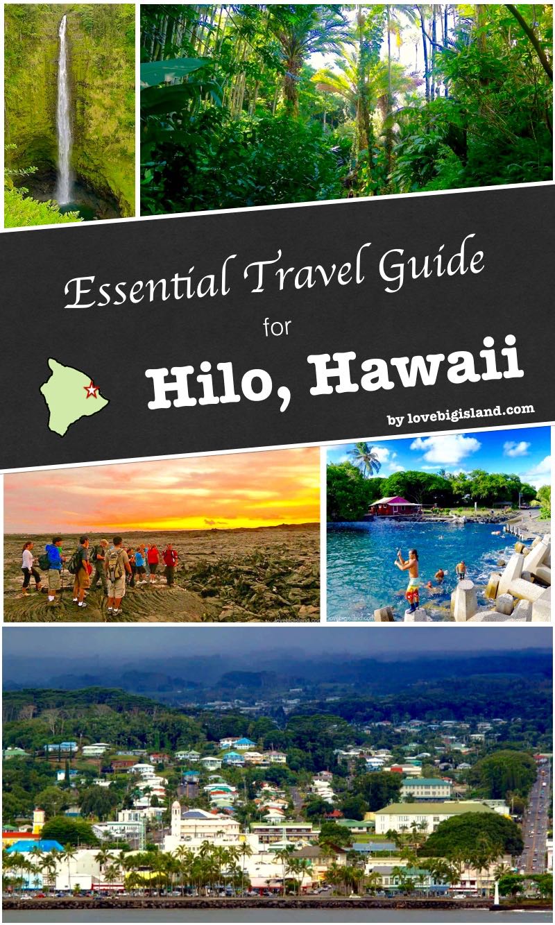
Hilo is the largest town on the Big Island and the main hub of its rainy windward side. It’s a working town, with a university and a downtown rather than a resort strip, and it stays green and tropical from the rain that feeds the waterfalls in and around it. It’s our favorite city on the island.
If you’re basing yourself on the east side, this is where to do it. Hilo gets about 142 inches of rain a year, which keeps the hills green and means you plan your days around passing showers. Volcanoes National Park is a 45-minute drive, with the Hāmākua Coast waterfalls to the north and the Puna district’s lava country to the south.
Table of contents
- Hilo bragging rights! (why we love Hilo)
- How many days in Hilo?
- Activities in and around Hilo
- Places to stay
- Hilo or Kona?
- Directions
- Practicalities
- Weather trends
- Interactive map
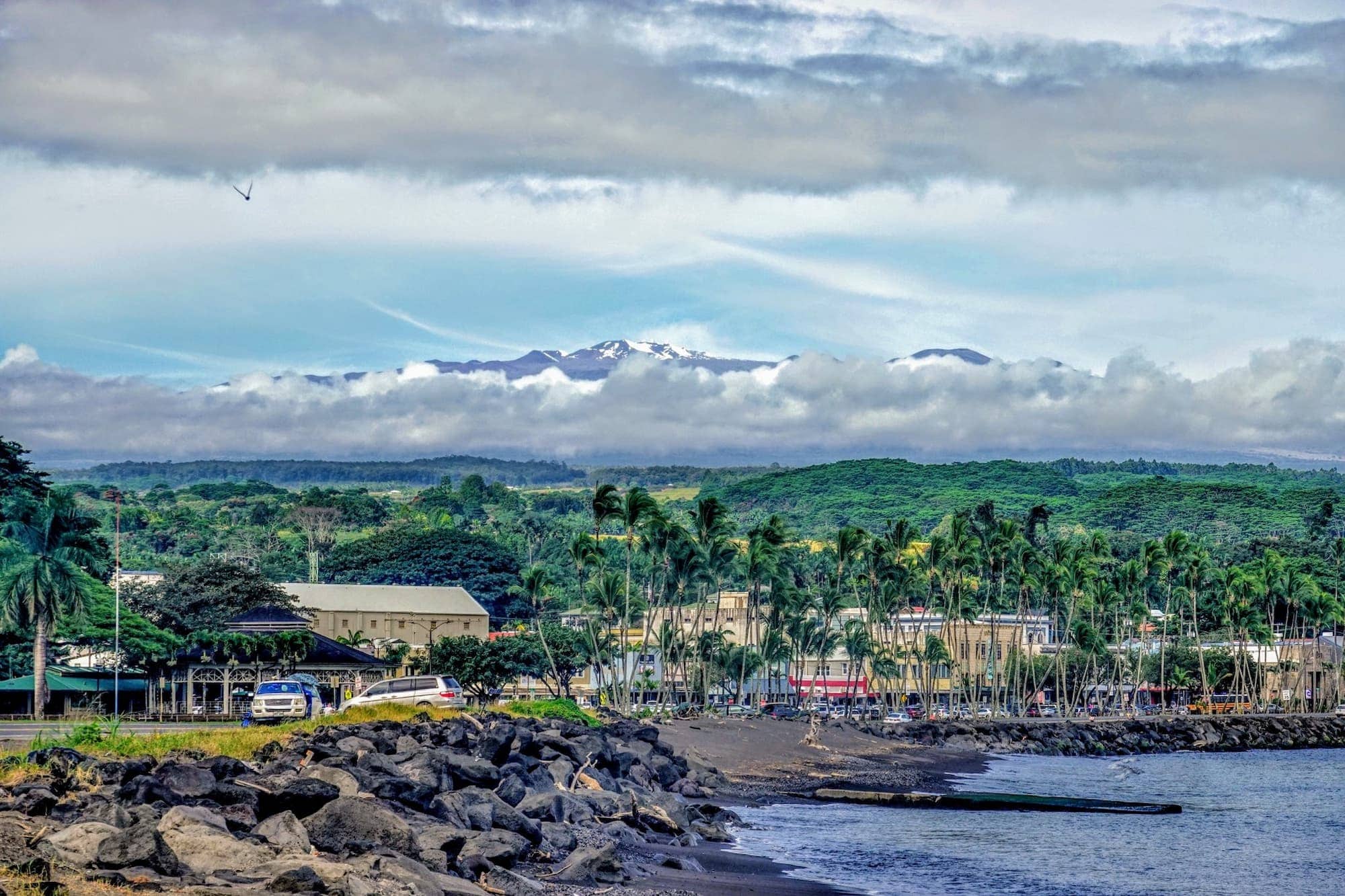
Hilo lies where the slopes of the impressive Maunakea and Mauna Loa volcanoes meet the ocean. In winter these volcanoes are sometimes covered in snow. Image courtesy of Volcano Hideaways.
Hilo (Hawaiʻi): students, culture, orchids, and capital of the Big Island
Hilo is the largest city on the Big Island, with a population of almost 45,000. That is more than twice the size of Kailua-Kona, and close to a quarter of everyone on the island of Hawaiʻi. For all its size, it stays laid back: people are friendly, and the pace runs a little slower than on the Kona side.
The University of Hawaiʻi at Hilo is in town, and its students and staff make up about 10% of the city’s population. That gives parts of town a college-town feel.
Hilo is also the island’s cultural capital. Historic buildings and the heritage of the old plantation days set the scene, and two destructive tsunamis, in 1946 and 1960, hit the town. Downtown, check the galleries and museums, and the daily farmers market.
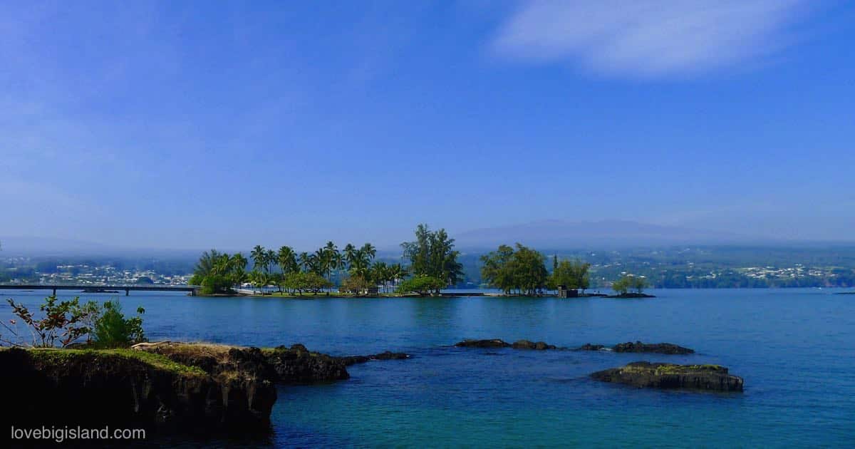
Mokuola (Coconut Island) is a small islet just offshore from Liliʻuokalani Park and Gardens, normally reached by a footbridge. The footbridge collapsed in November 2025, and the island is closed until further notice.
Hilo calls itself the Orchid Capital of the World. The wet climate on this side is well suited for cultivating orchids. You can spot them growing wild if you keep an eye out.
A good local resource about Hilo with often updated local events, a 1-hour guided walking tour, and more local information, is the Downtownhilo website.
How many days do you need in Hilo?
Plan at least a full day for the town itself, and two to three days if you use Hilo as a base for the rest of the rainy east side. A day is the minimum if you are just passing through on a loop of the island.
Volcanoes National Park sits about 45 minutes southwest, close enough for an easy day trip. The Hāmākua Coast to the north has waterfalls and scenic drives, a full day’s worth. Puna, to the south, has lava landscapes and small beach parks, another full day.
In town, you can fill a day without driving anywhere. Rainbow Falls is a few minutes away, and the walkable downtown grid has museums you can cover on foot. The Hilo Farmers Market runs daily but is biggest on Wednesday and Saturday, when the most vendors set up, so time an in-town day around one of those if the market is a priority. For a shortlist, see our five favorite things to do in Hilo.
Activities in and around Hilo
Around town you can visit waterfalls, walk through a few museums, visit the rainforest zoo, or swim at one of the black-sand beach parks. See our page on things to do in Hilo.
Waterfalls and short rainforest trails are the easiest things to do around Hilo. Rainbow Falls and the nearby Boiling Pots are the best known.
You can spend a full day outdoors in each of these areas:
North of Hilo: the Hāmākua Coast
North of Hilo, the Hāmākua Coast runs up the windward shore, its gulches and waterfalls easily a full day of driving.
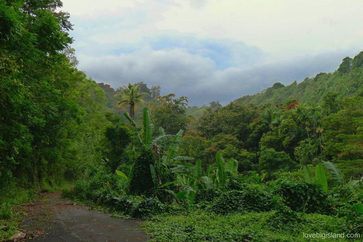
Lots of rain and tropical weather keep the Hāmākua coast north of Hilo green year-round
South of Hilo: the Puna district
South of Hilo lies the Puna district, the island’s youngest land and its most volcanically active. You see it in the raw coastline and the lava fields.
At its center sits the old hippie town of Pāhoa. Plan a day in Puna for scenic drives between small beach parks and a soak in volcano-heated hot ponds. When the flow is active, you can also watch lava reach the sea.
West of Hilo: Volcano Village and the national park
Volcano Village and Hawaii Volcanoes National Park are about a 45-minute drive southwest of Hilo.
Both are worth a day if you want to see active volcanoes and rainforest up close.
Where to stay in Hilo
Where you stay on the Hilo side of the Big Island depends on what you’re doing. Staying at elevation near the national park suits an active-volcano itinerary; Hilo Town has more services nearby. The Hāmākua Coast to the north and the more rugged, less-developed Puna district to the south are the other two options.
In our “where to stay in Hilo” guide, we break down the best options on the Hilo side for different kinds of travelers, including families, first timers, solo travelers, active travelers, beach bums, and repeat visitors. Our suggestions cover high-end and budget-friendly options for each.
Hilo or Kona: which side should you base on?
Hilo sits on the green, windward east side: wet, with waterfalls and rainforest close at hand, and the quickest base for Volcanoes National Park, about 45 minutes away.
Kona sits on the dry leeward side, across the island from Hilo. You get reliable sun and calm beaches for swimming and snorkeling, and most of the island’s resorts are on that coast. It is about 86 miles from Hilo, roughly a 1 hour 45 minute drive along the north coast.
Base in Hilo if you are here mainly for the rainforest and the volcano, and you would rather stay in a real town than at a resort. Kona is the stronger pick for beach days, dry weather, and resort amenities. We favor Hilo, but if your ideal day is snorkeling before lunch and a pool chair after, Kona is the right call for you.
Splitting a few nights between the two sides is a common plan if your trip runs a week or more. Our Kona guide has the beaches, towns, and where to stay.
Getting to Hilo and drive times
You can fly into the Big Island at Hilo International Airport. All the major rental-car agencies have desks there, and you can also leave the airport on the county Hele-On bus.
Kailua-Kona (86 miles, about 1 hr 45 min via the north coast), Waimea (55 miles, 1 hr 20 min), Pāhoa (20 miles, 35 min) and Volcano Village (30 miles, 45 min) are all within reach by car.
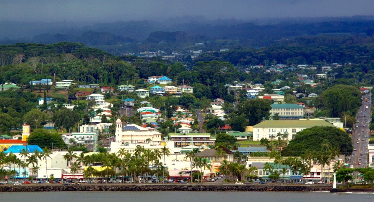
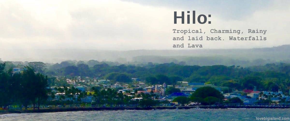
Hilo as seen from the ocean looking towards downtown. Adapted from original image by Prayitno on Flickr, published under a CC BY 2.0 license.
What to pack: Hilo gets a lot of rain
Hilo averages about 142 inches of rain a year, so pack a light rain jacket. Most of it falls overnight and in the evening, though, and stretches of dry daytime weather are common.
Hilo weather: humid, cloudy, and mild
Hilo is more humid and cloudier than the rest of the Big Island, but it stays mild by mainland standards.
For the month-by-month picture (temperature, sunshine, cloud cover, and rain), see our monthly weather averages for Hilo.
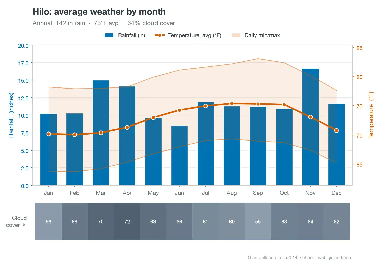
Hilo average weather by month: rainfall (bars, left axis), temperature (line and daily min/max band, right axis) and cloud cover (the strip below). Around 142 inches of rain a year, 70 to 75°F average, 64% average cloud cover. Data: Giambelluca et al. (2014).
Interactive map of Hilo and the Hāmākua Coast
We have pinned the stops we think are worth your time in and around Hilo on an interactive map, covering Hilo and the Hāmākua Coast. Click any icon for more on that activity, shop, or place to stay.
We also have interactive maps of other parts of the Big Island: