Pictures of our favorite parts of the Hawaii Volcanoes National Park that didn’t make it into our main park guide. We have many pictures and even more information that we kept out of there because we have to keep our content concise and to the point. Our expanded list of favorites includes:
Table of contents
- Thurston lava tube
- Kilauea’iki crater hike
- Steam vents and the steaming bluff
- The Nāpau trail: a view of the Pu’u O’o crater and plants colonizing the recent lava flows
Table of Contents
- Thurston lava tube
- Kilauea’iki crater hike
- Steam vents and the steaming bluff
- The Nāpau trail: a view of the Pu’u O’o crater and plants colonizing the recent lava flows
Thurston Lava Tube (Nāhuku)
Nāhuku, better known as the Thurston Lava Tube, is a large lava tube that had a river of red lava flowing through only a few hundred years ago. To get there you’ll need ~20 minutes (round trip) from the parking lot for an easy, 1/3 mile walk. You can see the entrance to the tube below.
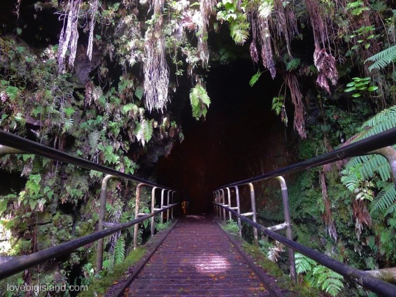
This lava tube was discovered in 1913 by Lorrin Thurston, a local newspaper publisher. At that time the roof of the tube was covered with lava stalactites, but those soon disappeared to souvenir collectors.
Kilauea’iki Crater (best short hike)
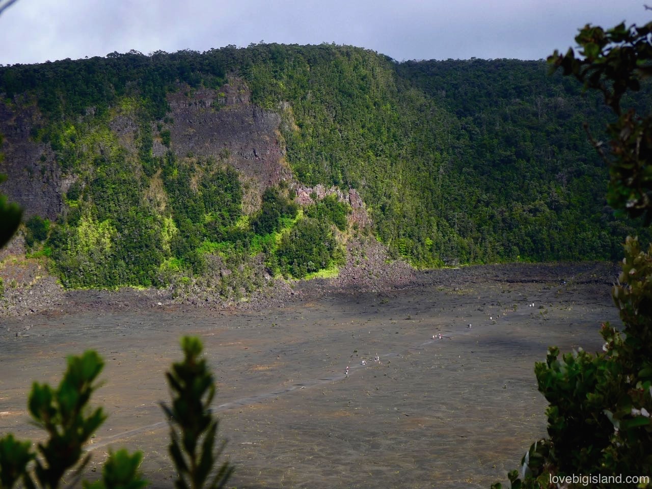
The Kilauea’iki crater is home to our favorite short hike on the Big Island: the Kilauea’iki trail.
This trail located in the middle of the Hawaii Volcanoes National Park will lead you through a lush ohia forest down into the Kilauea’iki crater, straight over the fractured crater floor and past hot and steaming vents. The crater floor was formed in 1959, and you can see signs of that eruption everywhere.
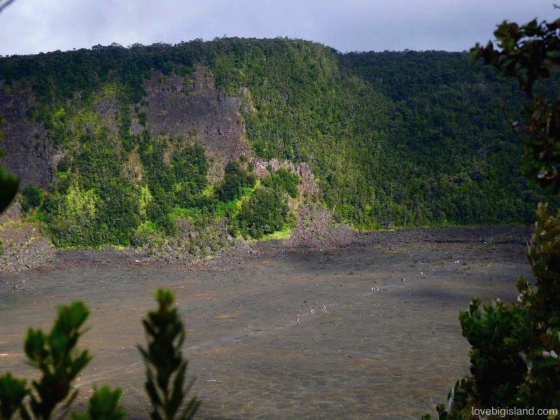
Hikers cross the floor of the Kilauea’iki crater in the Hawaii Volcanoes National Park. Find more information about this hike at our favorite short hike compilation.
Steam Vents and the Steaming Bluff
A short 0.8 mile drive will take you from the Kīlauea Visitor Center to the steam vents. Here, ground water seeps down to the hot volcanic rocks and returns to the surface as steam with a distinct, sulfury, smell.
To get to the place where the following picture was taken, you have to take a short walk to the caldera’s edge. This place is called the “steaming bluff” (in geology, a bluff is a high, steep bank, as by a river or the sea, or beside a ravine or plain). You also have a grand view over the Halema’uma’u crater.
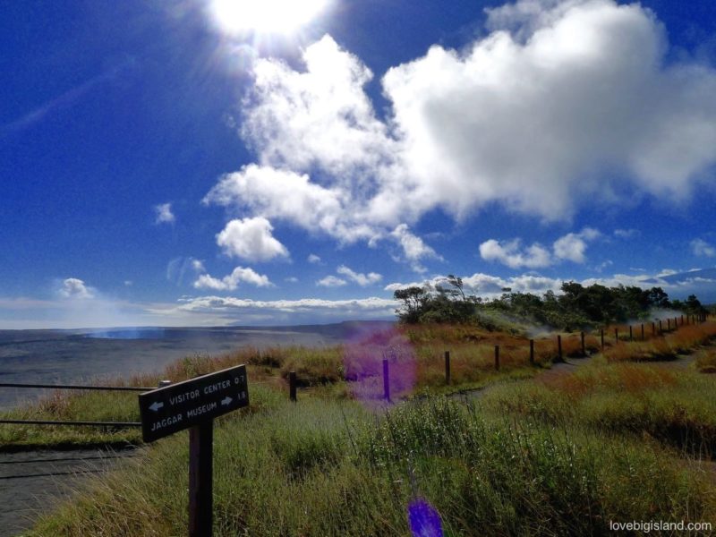
A short 0.8 mile drive will take you from the Kīlauea Visitor Center to the steam vents. Here, ground water seeps down to the hot volcanic rocks and returns to the surface as steam with a distinct sulfury smell.
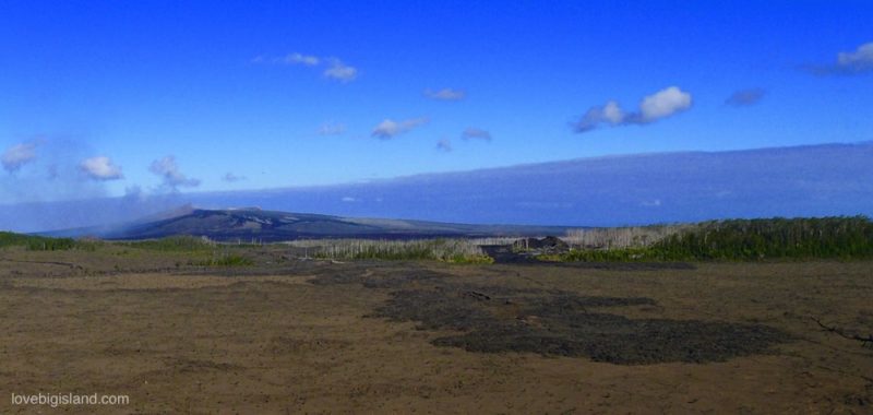
Pu’u o’o from the Nāpau campground
The Pu’u O’o has been erupting most recently between 1983 and 2018. This eruption produced a broad field of new lava flows that have buried over 45 square miles of the volcano’s south flank, and added more than 230 hectares of new land to the island!
You can get to the base of this volcano by hiking the Nāpau Trail in the Hawaii Volcanoes National Park. This 18(!) mile round trip (9+ hours) trail provides opportunities for hikers to experience a diversity of environments in Hawaiʻi Volcanoes National Park and leads through varied terrain ranging from recent lava flows to dense tree fern rain forests.
The following picture was taken from the Nāpau overlook at the campground. The trail continues 2 miles further up to the base of Pu’u O’o. Read more about this hike and campsite at the Hawaii Volcanoes National Park website.
‘Ama’u Ferns between Mauna Ulu and the Makaopuhi crater
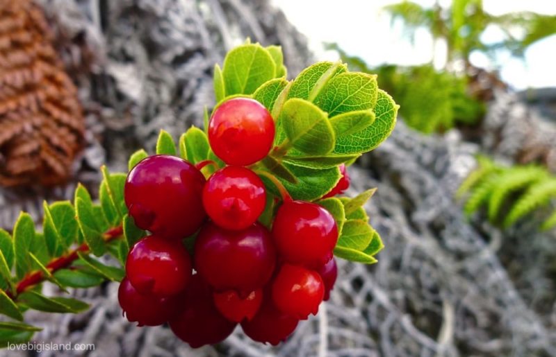
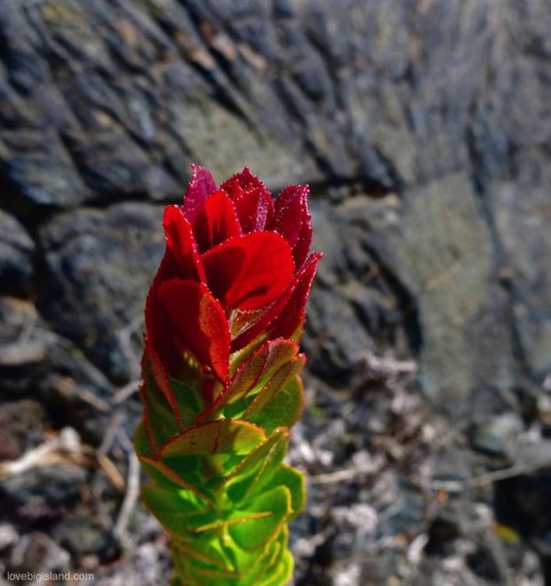
As the Nāpau trail takes you beyond Mauna Ulu, these ‘Ama’u (ah-ma oo) ferns colonize the recent lava flow. Unlike their close siblings, the Hāpuʻu Fern, the ‘Ama’u ferns are well equipped to survive this harsh landscape. In the background you can see the the Makaopuhi crater, the red-green shrubs in the foreground are ‘Ōhelo (oh-hello). These berries are a favorite food of the endangered endemic Nēnē geese, and is also used by the locals to make a delicious jam!
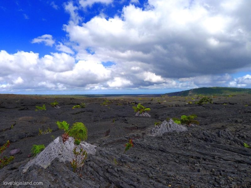
‘Ama’u (ah-ma oo) ferns colonize the lava flow at the Nāpau trail in the Hawaii Volcanoes National Park
‘Ōheloʻai and ‘Ōhelo berries
